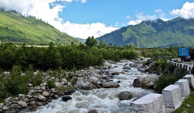
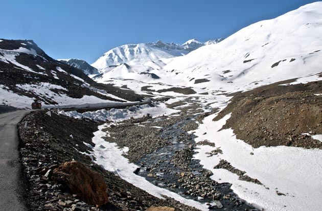
Start from Manali early morning - beautiful sights await as you start ascending. Snow-capped peaks with clouds floating around, streams and waterfalls and rich green forestry will stay with you all along the drive. You will gain altitude fast to Rohtang Pass, with the landscape getting more and more barren as you go up. The road has been in a bad shape for a while now, with traffic jams common during tourist season. But enjoy the drive.
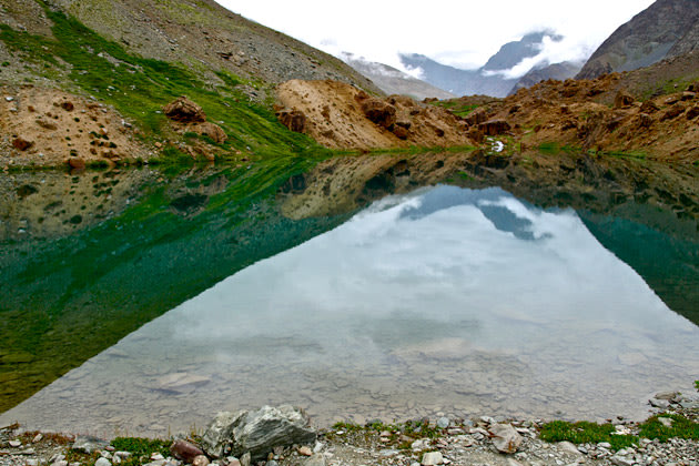
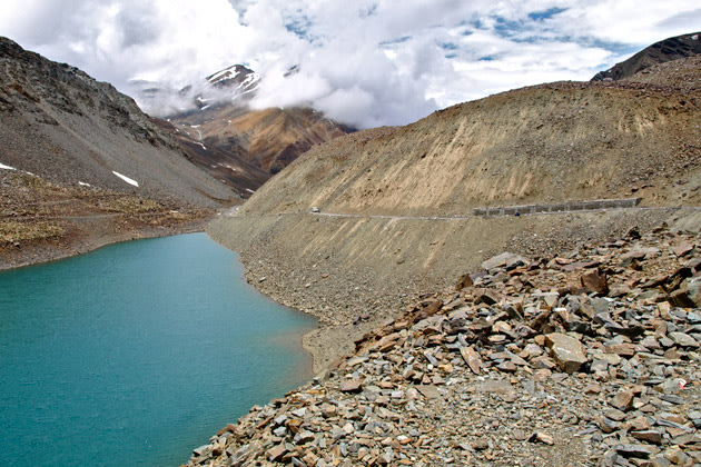
The 13,050 feet high Rohtang Pass looks like a popular picnic spot.

BRIEF DISTANCE / TIME CHART
* Manali - Jispa: 144 kms / 6:45 hrs
* Jispa – Deepak Tal (Lake): 23 kms / 0:50 hrs
* Deepak Tal – Suraj Tal: 30 kms / 1:00 hrs
* Suraj Tal – Baralach La (Pass): 3 kms / 0:05 hrs
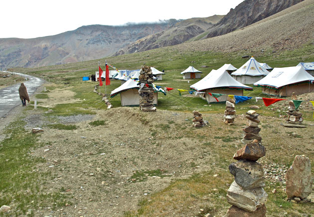
* Baralach La –Sarchu: 34 kms / 1:15 hrs
* Sarchu – Gata Loops Start: 26 kms / 0:40 hrs
* Gata Loops Start – End: 10 kms / 0:20 hrs
* Gata Loops End – NakeeLa (Pass): 11 kms / 0:25 hrs
* NakeeLa – Lachung La (Pass): 12 kms / 0:30 hrs
* Lachung La – Pang: 23 kms / 1:05 hrs
* Pang – More Plains (These start at approximately this point and stretch for about 50 kms): 7 kms / 0:20 hrs
* More Plains Start – Taglang La (Pass): 70 kms / 1:55 hrs
* Taglang La – Gya: 37 kms / 1:15 hrs
* Gya – Upshi: 27 kms / 0:35 hrs
* Upshi – Karu: 15 kms / 0:15 hrs
* Karu – Shey: 23 kms / 0:25 hrs
* Shey – Leh: 15 kms / 0:20 hrs
